The Diverse Landscapes of South America
South America is home to the world’s largest rainforest, the driest desert (Atacama), and the longest mountain range (Andes). Visualizing these extremes on a map of South America requires a tool that can handle detailed data. Whether you're tracking deforestation in the Amazon or agricultural output in the Pampas, our map tool offers the precision needed for modern geographical analysis.
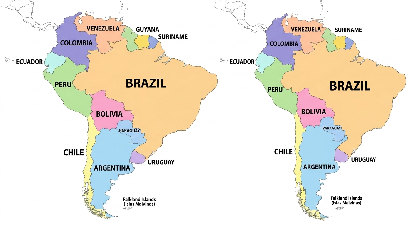
Cultural and Political Mapping
South America is primarily divided into Spanish and Portuguese-speaking regions, but its political landscape is much more complex. Users often use WorldMap Pro to visualize economic blocs like MERCOSUR or the Andean Community. By color-coding these groups, you can instantly see how regional trade alliances influence continental politics.
Educational Idea: Ask students to color-code the continent by its major biomes: rainforest, alpine tundra, and temperate grasslands. It’s an effective way to teach environmental science alongside geography.
Why Privacy Matters for Researchers
Many researchers mapping sensitive environmental data in South America choose WorldMap Pro because of our privacy-first philosophy. Since no data is ever uploaded to a server, your research remains entirely under your control. This is vital for work in remote regions where internet connectivity might be spotty but data security is high.
Explore South America
Download your custom South America map in high resolution today.
Open Map Tool →