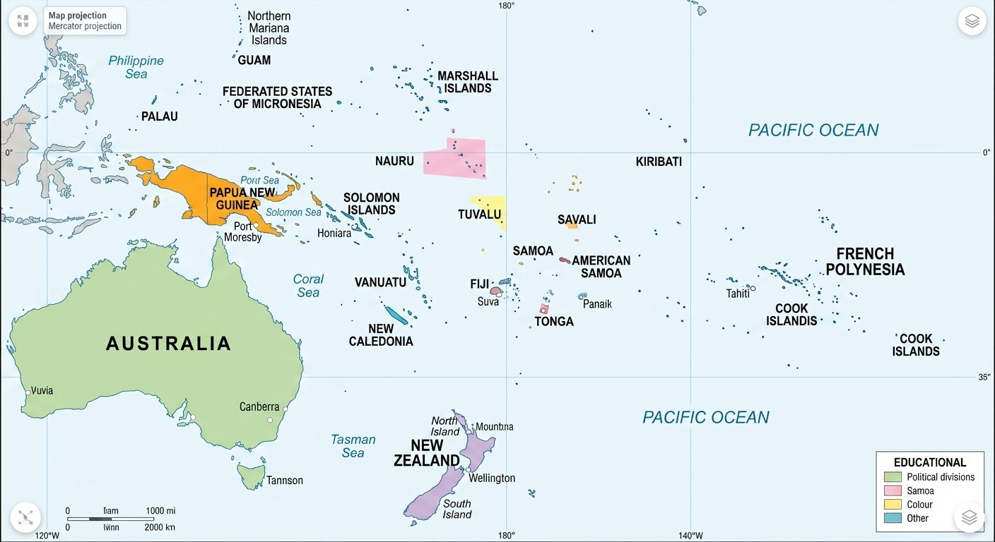
The Scale of the Pacific
Oceania spans nearly 3.3 million square miles of land but covers a significantly larger portion of the Earth's surface when considering the ocean. Using a digital Oceania map is the best way to appreciate the isolation and connectivity of island nations like Fiji, Kiribati, and the Solomon Islands. Traditional world maps often crop these islands or show them as tiny dots; our interactive editor allows you to zoom in and see the detail of each archipelago.
Australia and New Zealand: The Continental Anchors
While often categorized together, Australia and New Zealand have vastly different geographies and ecosystems. Our tool allows you to highlight the distinct states of Australia or the North and South islands of New Zealand to show regional data. This is essential for students learning about the unique biodiversity found in the "Land Down Under."
Did you know? Oceania is divided into three distinct cultural and geographic sub-regions: Melanesia, Micronesia, and Polynesia. You can use our color bucket to highlight these regions and teach their differences.
Modern Challenges: Climate and Conservation
In 2026, Oceania is at the forefront of the global conversation on climate change and rising sea levels. Environmentalists use WorldMap Pro to mark vulnerable atolls and marine protected areas. Because our tool works locally in your browser, your data and pins remain private—allowing for the free exploration of sensitive environmental datasets.
Explore the Pacific
Create a custom, high-resolution Oceania map today. No data is ever collected.
Open Map Tool →