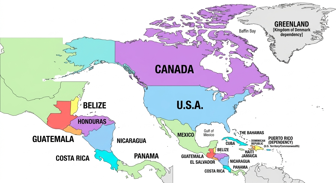
Detailed Continental Visualization
From the glaciers of Northern Canada to the tropical isthmus of Panama, a map of North America covers nearly 9.5 million square miles. Our tool allows you to zoom into specific regions with high-resolution clarity, which is essential for both educational and professional mapping. Users often overlook the sheer diversity of Central America and the Caribbean, which our tool treats with the same level of detail as the larger landmasses.
US States and Canadian Provinces
Unlike simple world maps, our North America map tool allows for sub-national customization. You can highlight individual US states or Canadian provinces to track regional data. This is particularly useful for visualizing census data, election results, or regional marketing strategies where national-level data is too broad.
Use Case: Logistics managers use our pins to mark shipping routes between the Port of Los Angeles and inland distribution centers across North America.
Educational Value of North American Maps
For teachers, North American geography is a gateway to understanding diverse cultures and biomes. Using a blank North America map, students can practice identifying capitals like Ottawa, Washington D.C., and Mexico City. Our privacy-first design ensures that students don't need to create accounts, keeping their information safe while they learn.
Creating Professional Visuals
Whether you are designing a presentation for a business meeting or a worksheet for a 5th-grade classroom, the visual quality of your map matters. WorldMap Pro offers high-res PNG and PDF exports that look crisp even on large display screens or in printed reports. Because we use browser-side processing, you can work offline and still generate professional results.
Start Your North America Project
Create high-resolution, privacy-safe maps for free today.
Open Map Tool →